Subscribe to the counties and basins you work in. Get the derived data you need to evaluate deals, monitor activity, and move faster.

Trusted by operators, non-op buyers, mineral aggregators, and A&D advisors across the upstream market.









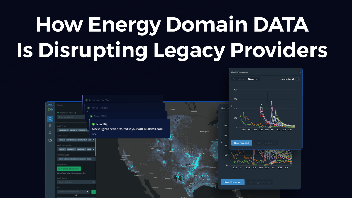
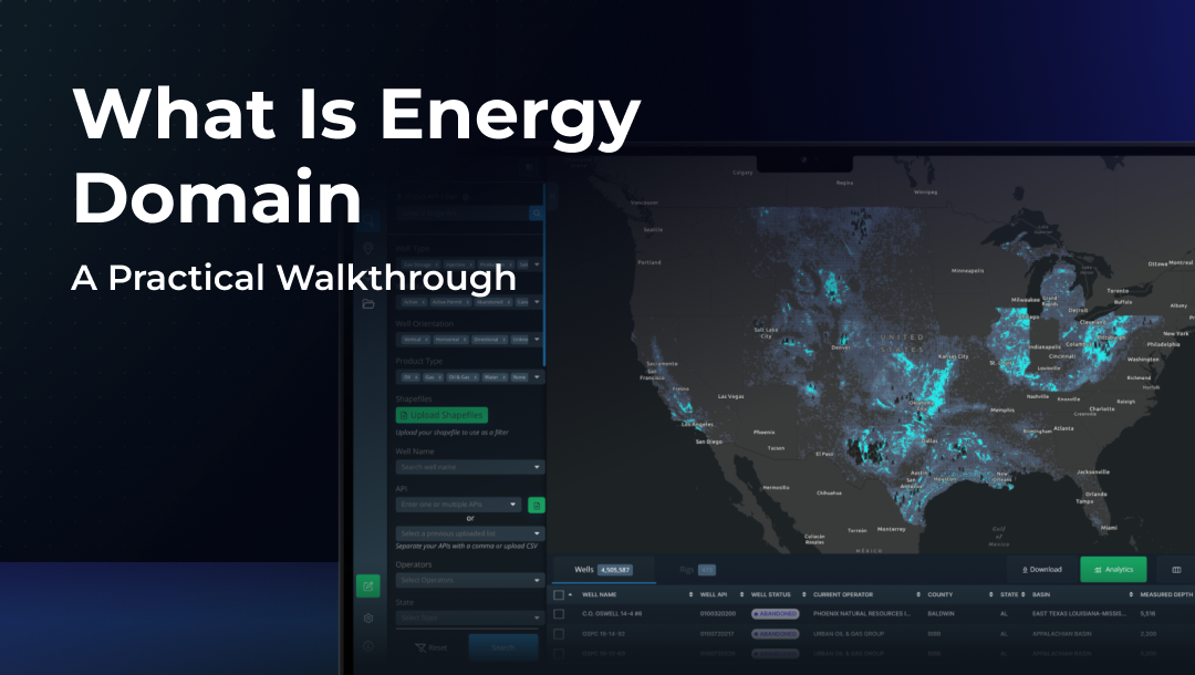
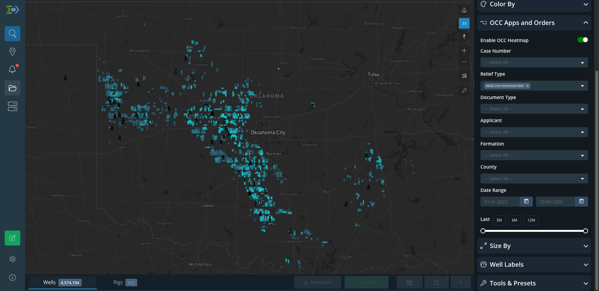
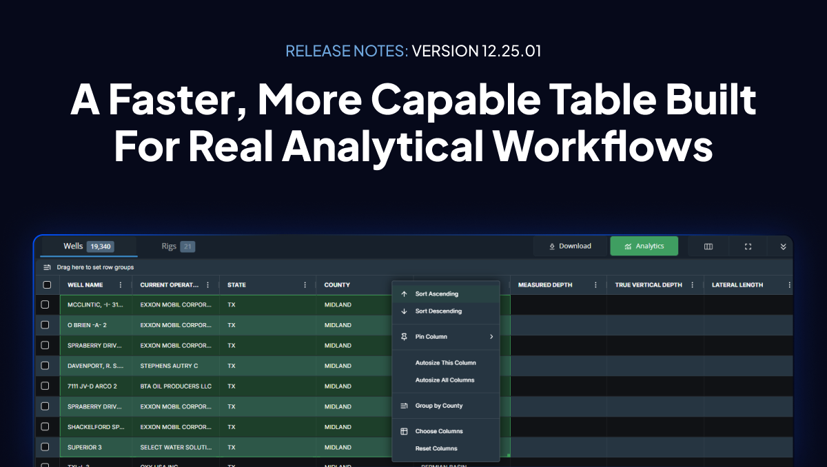
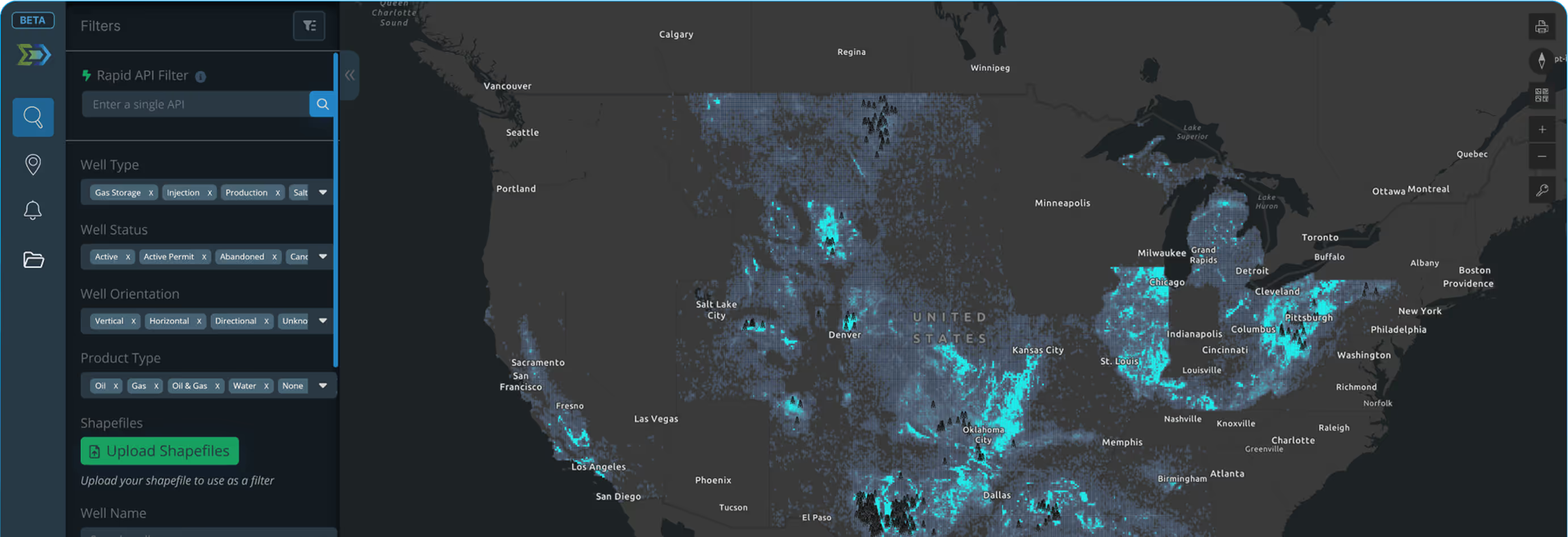
Start on the map. Apply filters. Wells, rigs, permits, and laterals update instantly. Move from basin screening to well-level detail without leaving the view.
Well-test-driven production allocations for Texas and Louisiana. Lease-level volumes broken into well-level estimates with volume conservation and transparent methodology.


65% of rig positions sourced directly from drilling contractors. The rest from satellite imagery. 94 to 99% coverage compared to Baker Hughes. Updated daily.
Define custom areas of interest. Get a daily email digest when new permits, rigs, DUCs, or active wells appear inside your boundaries.

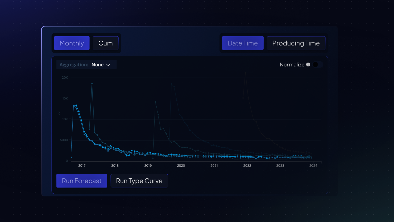
Generate forecasts and type curves with flexible decline modeling built directly into the application.
JDBC/ODBC connectivity for Spotfire, Power BI, Tableau, or custom scripts. Pull Energy Domain data directly into your existing tools.


Upload a list of well names. Energy Domain resolves them to API numbers without requiring APIs in your file. Supports fuzzy matching.
Create an account at energydomain.com/data. No credit card required. Full platform access for 7 days.
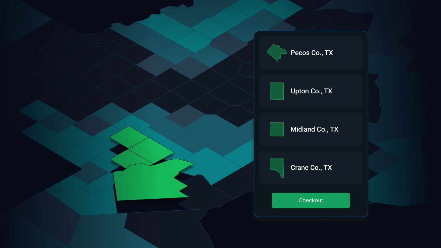
Choose counties, basins, or nationwide. Month-to-month or annual. Manage everything in the app.
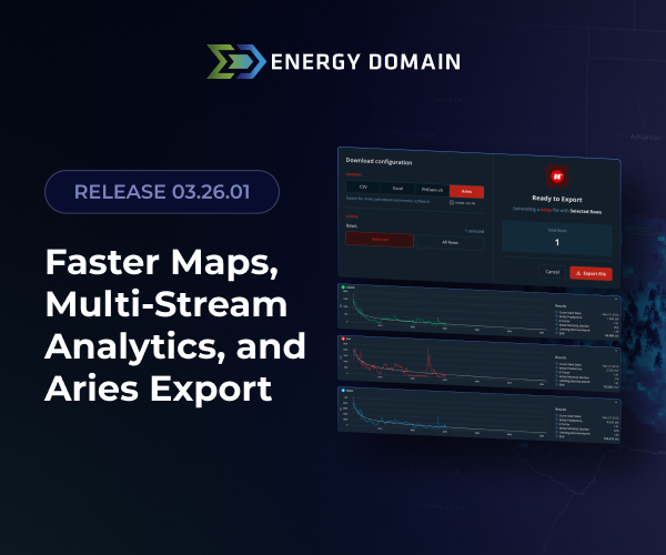
Pull production. Track rigs. Build type curves. Export to Excel, Aries, or PHDwin. Connect to Spotfire or Power BI through DataStream Direct.
Get the answers to the most commonly asked questions. If you need more information, don't hesitate to reach out!
Questions not covered here? Contact us at contact@energydomain.com or book a walkthrough at energydomain.com.
It depends on the dataset. Core state-reported production and well headers update on each state agency’s reporting schedule. Well statuses are event-driven and update daily. Rig locations update daily, with intra-day updates in active areas. Derived datasets — production allocations, Confirmed Intervals, calculated headers — re-run as new well tests and state records arrive, so estimates improve continuously. Texas mineral appraisal data updates annually with county appraisal district releases.
Yes. DataStream Direct is our JDBC connector, built for direct integration with BI tools like Spotfire. Authenticate against your subscription — county, basin, or nationwide — and pull data at whatever cadence your workflow requires. Snowflake connectivity is also supported for teams running enterprise data lake environments.
A SQL-based query API is in development with a goal of making it available to all subscribers at low or no additional cost. Contact us for early access.
Approximately 65% of our rig locations come directly from drilling contractors through relationships established when we acquired a rig data business. The remaining coverage runs through satellite imagery — we geofence permitted pad sites and run imagery daily. Coverage runs 94–99% against the Baker Hughes count on any given day.
State regulatory data is the foundation for well headers, production volumes, and lifecycle statuses. On top of that we layer drilling contractor filings and satellite imagery for rig locations, FracFocus for completion data, New Tech/Thompson Z-Map formation tops for Confirmed Interval identification, and Texas county appraisal rolls and tax records for mineral appraisal data. Operator and reservoir names are normalized across inconsistent state and operator reporting so data connects cleanly regardless of how it was originally filed.
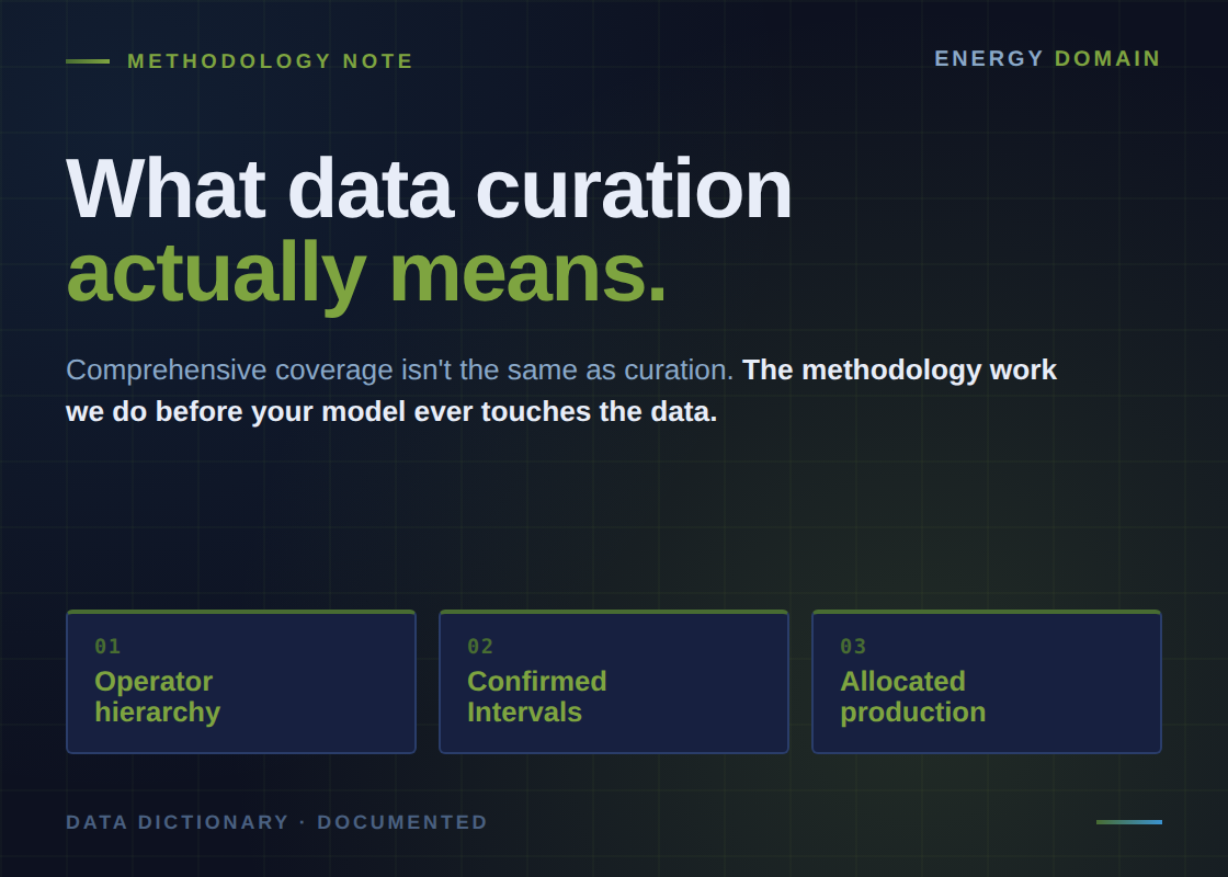
We programmatically land every horizontal well with a directional survey at the micro-reservoir level using a comprehensive formation tops and Z-Map dataset. The Confirmed Interval identifies the primary formation a well is landed in — specifically the interval where 51% or more of production originates.
In the Permian, that means filtering by Wolfcamp A, B, C/D, Spraberry second bone, third bone, and similar targets with specificity. This is a proprietary derived dataset, not a pass-through of the state-reported target formation field, which is often incomplete or missing.
We offer subscriptions by county, basin, or nationwide, on monthly or annual terms, with no long-term contracts and no enterprise negotiation required. You manage your subscription and seat allocations directly in the platform. Texas mineral appraisal data and tax rolls are included at no additional cost.
Pricing is built to be accessible to independent operators and smaller shops historically priced out of enterprise data contracts — without cutting corners on data quality or methodology.
Texas and Louisiana report production at the lease level, not the well level. When multiple commingled wells produce to the same tank battery, only the lease total reaches the state. To get to well-level production — what you need for type curve analysis, decline curve forecasting, PDP valuation, and reserves estimation — that lease total has to be allocated across the contributing wells.
Our methodology is built on three principles: volume conservation (allocated well-level production always sums exactly to the reported lease total), test-based allocation (well tests provide direct measurements that drive the proportional distribution), and state-appropriate methods (Louisiana’s records include explicit temporal data; Texas does not, so we use a Well Date Finder algorithm that synthesizes completion timing, production peaks, and other signals).
Confidence varies and is transparent. Single-well leases are definitive. Multi-well leases with dense test coverage are high confidence. Sparse test data or active drilling introduces more uncertainty, and we document that rather than obscuring it. Allocations re-run as new well tests arrive, so historical estimates improve over time.