0 Results for ""

Evaluate. Transact. Move faster.


Energy Domain integrates well-level production data, rig intelligence, courthouse records into a single upstream workflow. Built by oil & gas professionals. Used by the teams underwriting, acquiring, and managing assets every day.

Trusted by operators, non-op buyers, mineral aggregators, and A&D advisors across the upstream market.






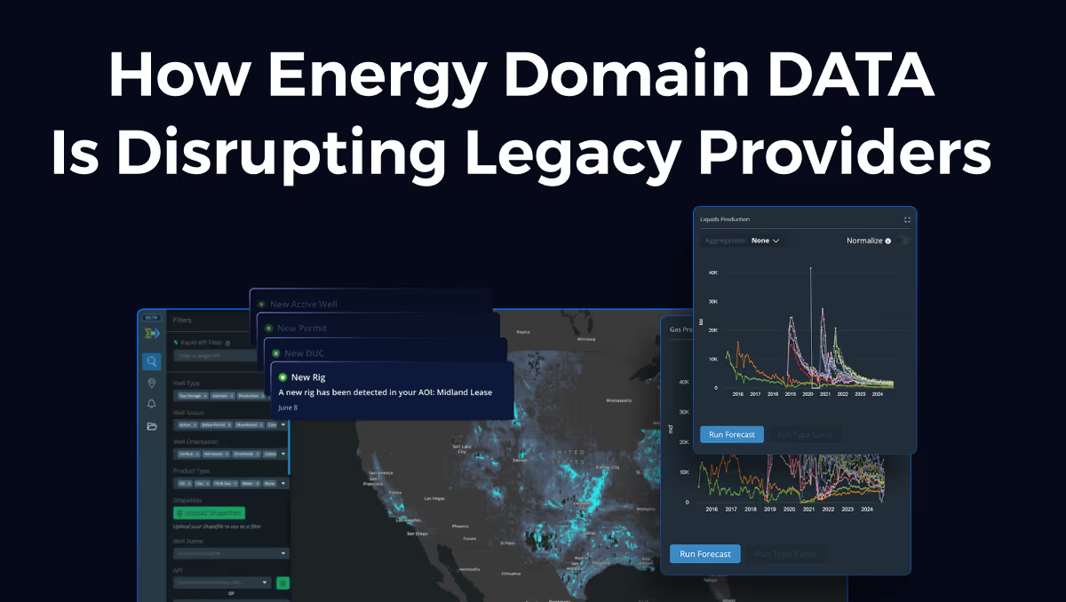
Energy Domain Brings Proprietary Title-Chaining IP to Frontier AI Models
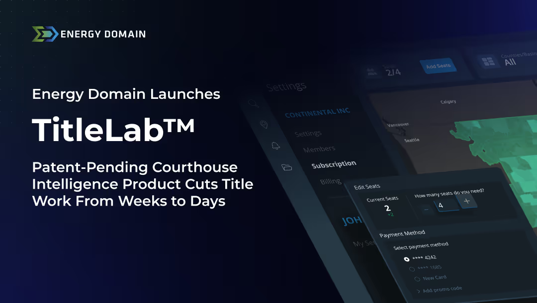
New releases for TitleLab® and Fundamentals embed Energy Domain’s specialized title-examination engine directly into Claude and other MCP-compatible frontier models—enabling land, title, and engineering teams to execute accurate chain-of-title and well analysis from their preferred AI workspace.

TitleLab®
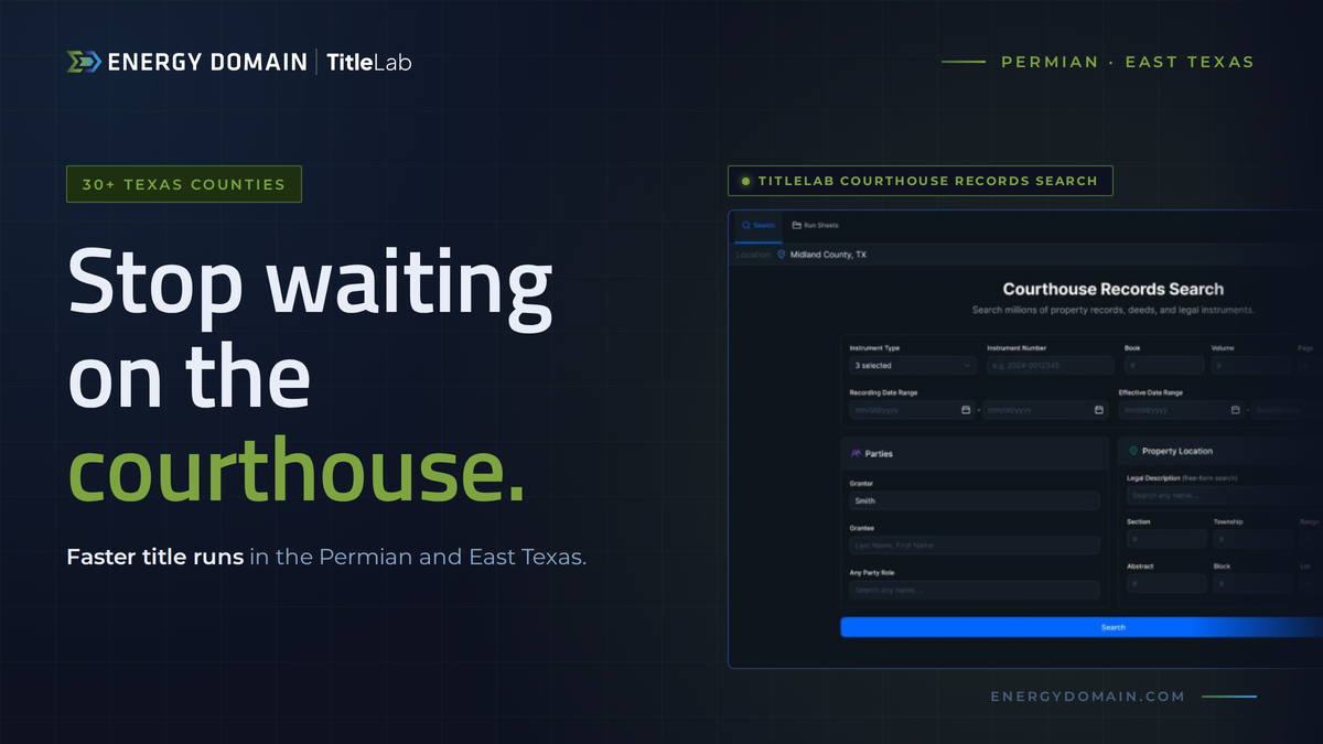
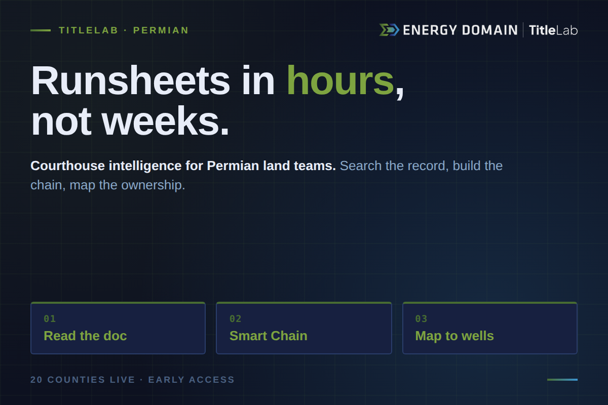
Modern courthouse intelligence for upstream land & mineral workflows.

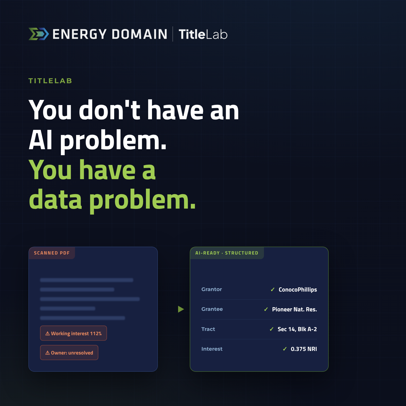
Land teams spend thousands of hours manually reviewing courthouse documents, building run sheets in spreadsheets, and cross-referencing legal descriptions across disconnected systems.
TitleLab doesn’t just digitize documents — it understands them.
Document Intelligence
Instruments classified and key provisions extracted automatically.
True Legal Description Parsing
Parsed, normalized, and mapped to distinct property tracts. Not OCR. Structured extraction.
Chain-of-Title Construction
Trace decades of conveyances without manual document hunting.
Integrated with Energy Domain Data
Connect documents directly to the wells and leases you already track.
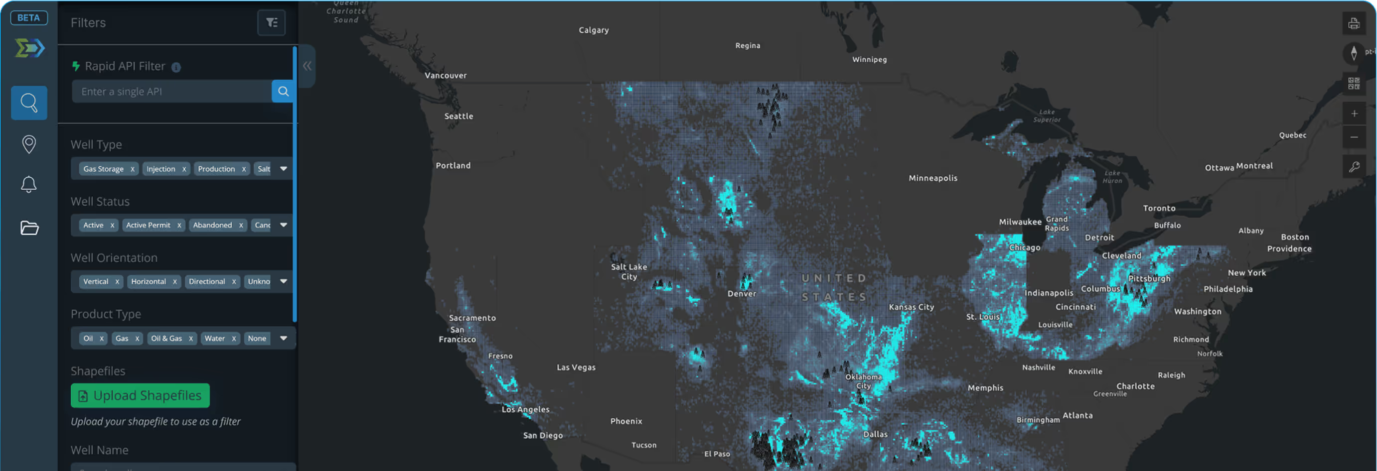
Map-first. Filter fast. Get to the decision.
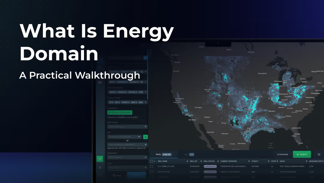
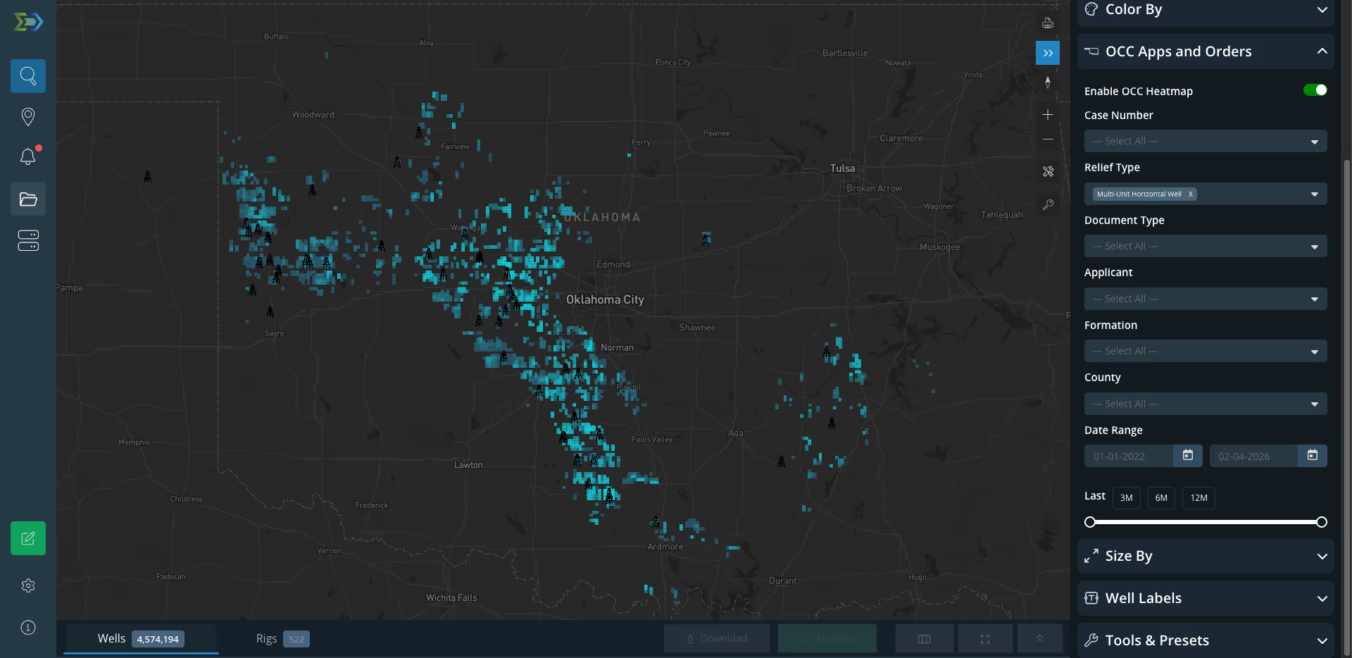
Energy Domain mirrors how upstream teams actually work — spatially first, then progressively narrowing until the data reflects exactly the slice of activity you care about.
Step 01: Start on the Map
Log in directly to a live map view. No onboarding wizard. Zoom to a county, lease block, or basin trend and orient spatially — the way upstream decisions begin.

Step 02: Filter Aggressively
Apply operator, reservoir, status, production, and vintage filters. The map and data table update in sync. Go from broad screening to targeted evaluation in minutes.

Step 03: Analyze at Well Level
Click any well for header data, allocated production, directional surveys, and ownership — all in a side panel. Rapid comparison across offsets without losing map context.

Enterprise data built for scale.
Every dataset is validated, normalized, and tied to confirmed well identifiers. Core state-reported data plus proprietary derived datasets that don’t exist elsewhere.
Well Header Data
API, operator, lease, location, target formations, status, and permit information — sourced directly from state agencies.
Production Allocations
Well test–driven allocations for commingled leases across Texas and Louisiana. Volume-conserved. Test-based. Defensible.
Rig Locations
Daily rig position updates combining state reports, contractor filings, and satellite imagery. Know where capital is being deployed.
Directional Surveys
Measured depth, inclination, azimuth, and survey stations for all horizontal wells. Full lateral path visibility.
Confirmed Interval
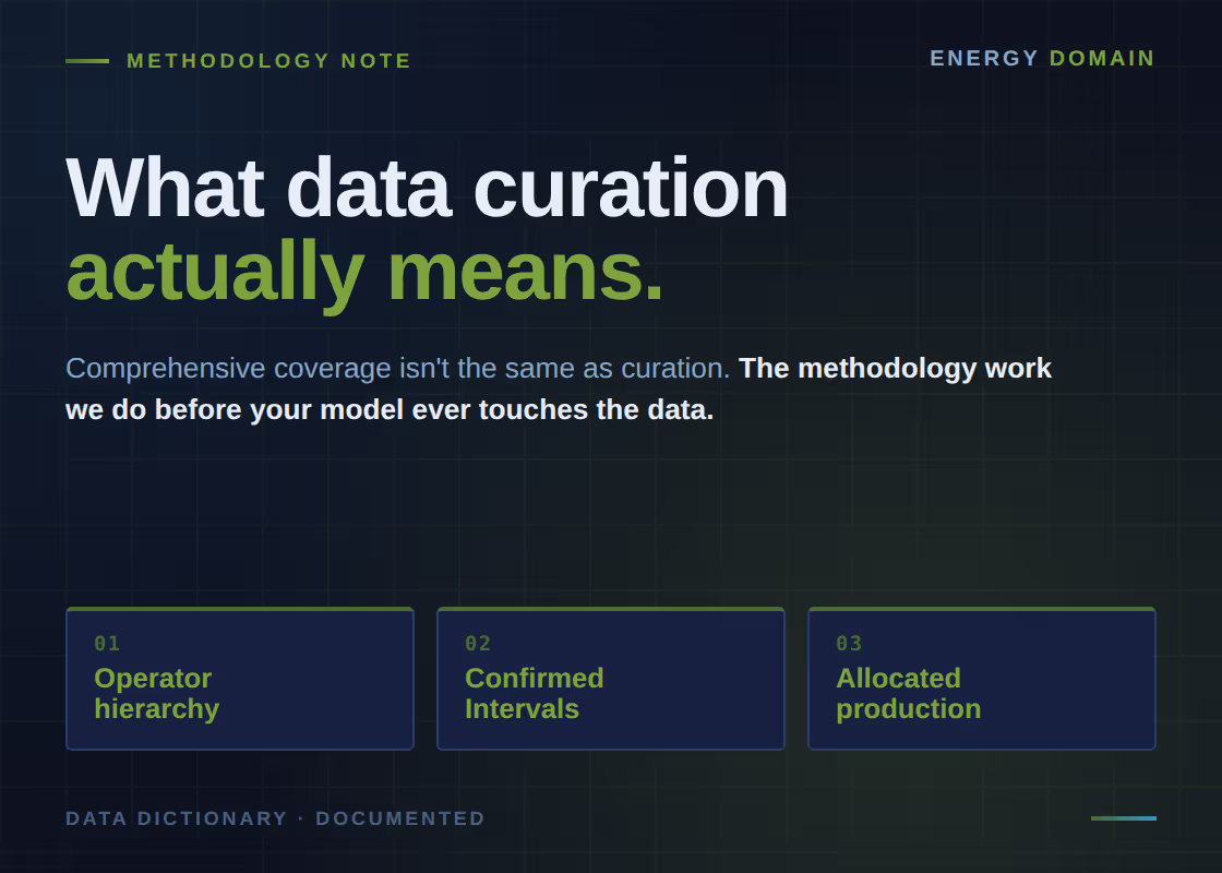
Proprietary identification of each horizontal well’s primary landing zone — the dominant interval where 51%+ production originates.
Texas Mineral Appraisals
Annual mineral appraisal data and tax rolls joined to well and lease records. Included at no additional cost with your subscription.
Well-level production you can defend.
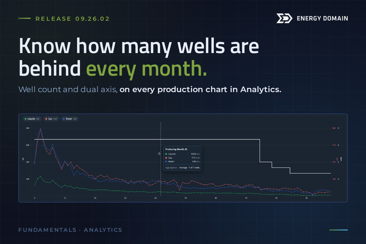
When state agencies report production at the lease level, operators and acquirers need well-level estimates to make capital decisions. Our allocation methodology is built on volume conservation, empirical well test data, and state-appropriate methods — not generic models.

Allocated well-level production always sums to the original lease-level total. No volume is created or lost. Every barrel is accounted for.
Well tests provide empirical snapshots of individual well performance. These measurements drive proportional distribution — not assumptions.
Texas and Louisiana provide different data types and quality. Our methodology adapts — algorithmic estimation for TX, comprehensive state records for LA.
As new well tests arrive and regulatory records are updated, allocations are re-run. You always have access to the highest-quality estimates available.
The teams making
upstream capital decisions.
Energy Domain is decision infrastructure for the professionals who evaluate, acquire, operate, and manage upstream oil & gas assets.

Independent E&P Operators
Screen acreage, track competitor activity, monitor well performance, and identify development opportunities across your areas of interest.

Mineral & Non-Op Aggregators
Underwrite PDP and PUD assets with defensible well-level allocations. Tighten diligence cycles and reduce the risk of mispriced acquisitions.

A&D Advisory & PE Firms
Validate asset economics with integrated production, ownership, and offset data. Build defensible underwriting models and move from teaser to bid with fewer data gaps.

Land Teams
Replace manual courthouse research with TitleLab's structured, searchable records. Build run sheets and trace chains of title without spreadsheet reconciliation.

Reservoir & Production Engineers
Evaluate type curves, compare offset performance, and access directional surveys and Confirmed Intervals for every horizontal well in your focus area.

Family Offices & Institutional Capital
Gain upstream data access typically reserved for operators. Evaluate, monitor, and underwrite positions with professional-grade infrastructure.













© 2026 Energy Domain · Fort Worth, TX